Key Takeaways:
- Altocumulus clouds are middle-altitude clouds characterized by globular masses or rolls in layers or patches. They signify convection and are often associated with weather changes.
- Towering altocumulus, known as altocumulus castellanus, can signal the development of thunderstorms, making it a crucial warning cloud for the aviation industry.
- Altocumulus clouds typically form between 2,000 to 6,100 meters above ground level and can stretch for thousands of square miles.
- Altocumulus has several species and opacity-based and pattern-based varieties, each with distinct characteristics.
- Altocumulus clouds can produce virga (precipitation that doesn’t reach the ground), mammatus clouds caused by localized downdrafts, and a unique feature called asperitas due to severe wind shear.
Altocumulus clouds, derived from the Latin words “altus” (high) and “cumulus” (heaped), are a fascinating middle-altitude cloud genus that holds a unique place in the ever-shifting tapestry of the sky. These clouds are recognized by their distinctive globular masses or rolls, often arranged in layers or patches. Altocumulus clouds stand between the delicate cirrocumulus and the more massive stratocumulus in terms of size and darkness of individual elements. However, when atmospheric instability increases, these clouds can take on a cumuliform structure, resembling their cumulus cousins.
One of the significant roles these clouds play is in weather forecasting. Towering altocumulus, also known as altocumulus castellanus, serves as a warning sign for impending thunderstorms, as it indicates instability and convection in the middle levels of the atmosphere. This makes it a crucial indicator for the aviation industry, alongside towering cumulus and cumulonimbus clouds. Typically forming between 2,000 to 6,100 meters above ground level, altocumulus clouds can extend over vast areas and occasionally create spectacular undulating formations known as altocumulus mackerel sky.
Altocumulus clouds come in various species and display opacity-based and pattern-based varieties, each with its unique characteristics. They can produce virga, a form of precipitation that evaporates before reaching the ground, and occasionally lead to the formation of mammatus clouds, caused by localized downdrafts. Moreover, altocumulus clouds can exhibit a mesmerizing feature called asperitas, characterized by chaotic undulations caused by severe wind shear.
In essence, altocumulus clouds are not just a spectacle in the sky; they are meteorological storytellers, providing valuable insights into atmospheric conditions and hinting at the potential weather changes that lie ahead. These middle-altitude marvels serve as a reminder of the intricate dance between the Earth’s surface and the vast expanse of the atmosphere above.
#1 Altocumulus clouds over Mussoorie
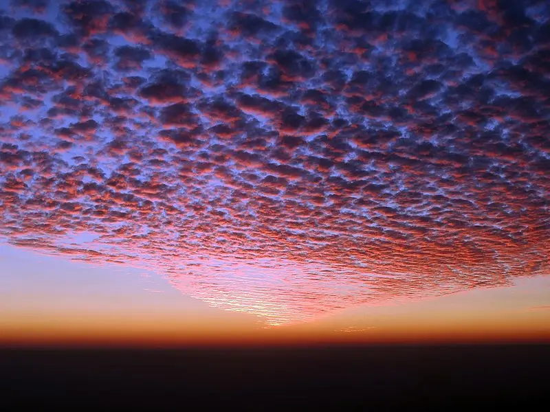
#2 Gorgeous sunset with altocumulus clouds this evening in #Tartu, Estonia 22.10.18.
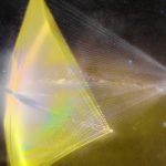
#3

#4

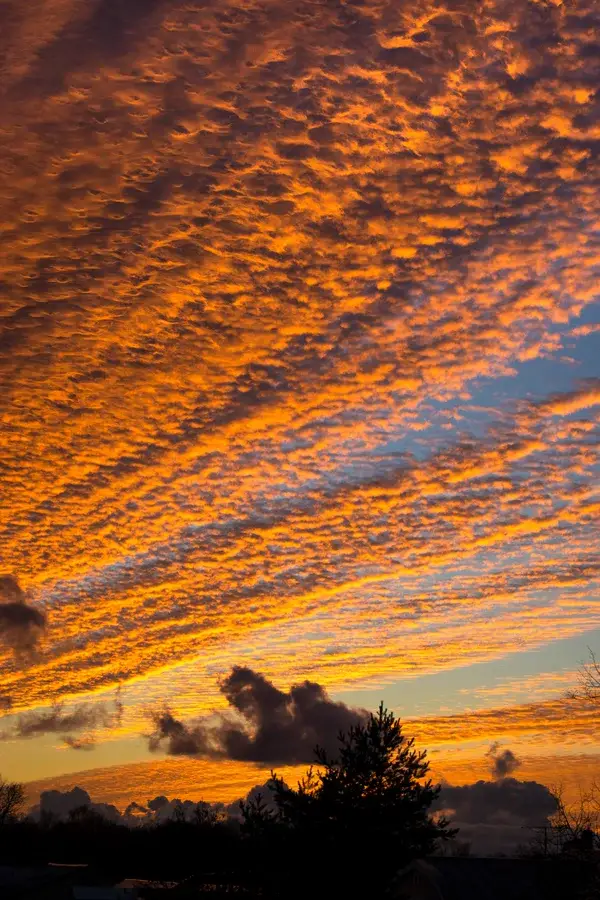
#5 In this sunrise image, the blue sky, yellow Cirrus clouds, and orange Altocumulus clouds result from both Rayleigh and Mie scattering.

#6 Altocumulus mackerel sky at sunset, Howgill Fells, Cumbria, England

#7