Amazingly Sharp, Rectangular Iceberg Floats Near Antarctica’s Larsen C Shelf in NASA Image
TL;DR
NASA has captured an extraordinary image of a sharp-edged rectangular iceberg floating near the Larsen C ice shelf in Antarctica. While it appears unusual, this iceberg is a natural phenomenon known as a tabular iceberg, characterized by steep vertical sides and a flat top. The image was taken as part of Operation IceBridge, a mission to monitor changes in polar ice. This type of iceberg forms when clean breaks occur from ice shelves, creating nearly 90-degree angles, though wind and waves will eventually smooth its edges over time.
Don’t forget to join the discussion below!
___________
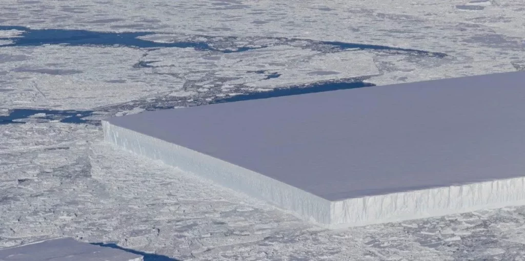
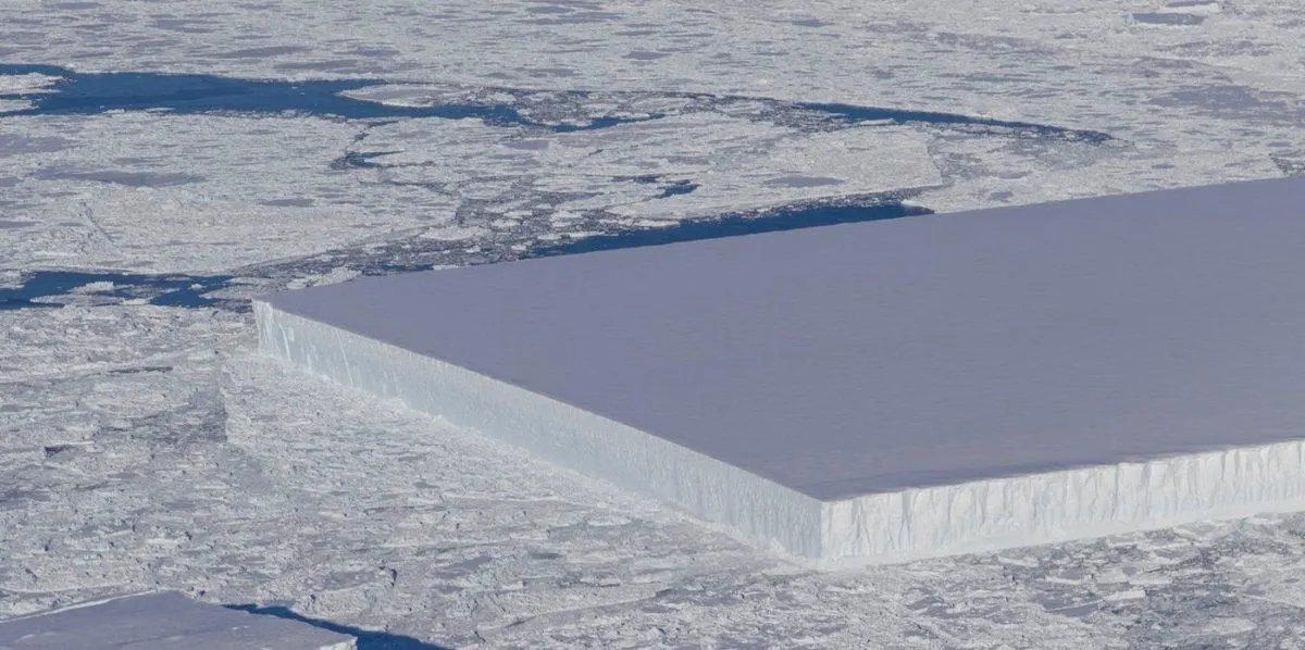
NASA recently released a remarkable image of a nearly perfect rectangular iceberg in Antarctica. This large, block-like chunk of ice, floating near the Larsen C ice shelf, stands out due to its sharp 90-degree angles, which seem almost unnatural.
The image was captured as part of NASA’s Operation IceBridge, a mission designed to photograph and monitor Earth’s polar regions, with a focus on changes in ice thickness, distribution, and accumulation over time.

NASA
Although the iceberg appears unusual, it is a naturally occurring phenomenon. Most people are familiar with jagged icebergs with small peaks protruding from the water, but there is another type known as tabular icebergs.
Tabular icebergs feature steep, nearly vertical sides and a flat top. These formations typically break away from ice shelves—large, flat expanses of thick ice. When a clean break occurs, the resulting iceberg can have sharp, almost 90-degree edges. According to NASA scientist Kelly Brunt, this particular iceberg is likely quite new, as wind, waves, and sea spray will eventually erode its sharp edges, rounding them over time.
The photo was taken at 20:26 Zulu time on October 16 and positioned at approximately Latitude -66.8793 and Longitude -59.8820, according to Jefferson Beck from NASA’s Goddard Space Flight Center/USRA.

NASA
It’s well known that around 10 percent of an iceberg is visible above the ocean surface when it’s floating. However, it’s unclear from the image whether this iceberg is fully afloat or partially resting on the seafloor.
Although the size of this iceberg has not been measured, tabular icebergs can grow to immense proportions. The largest recorded iceberg, Iceberg B-15, measured 183 miles long and 23 miles wide, larger than the island of Jamaica. It broke off from the Ross Ice Shelf in 2000.

WikiCommons
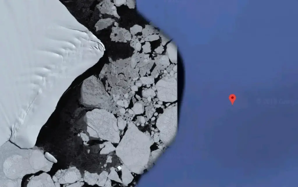
To give context, the map above shows the location of the Larsen C Ice Shelf. At the bottom of the map, you can also see the Ross Ice Shelf, where the largest iceberg in history originated.
Ice shelves form where land meets the ocean. As ice moves from the continental landmass toward the sea, it extends over the water, either floating or partially supported by the ocean floor. The section of ice that extends over the water but remains attached to the land is known as an ice shelf. A natural process for ice shelves is calving, where large pieces of ice break off from the edge.
Through Operation IceBridge, NASA aims to study this calving process to better understand the effects of global warming. As the Earth warms, ice shelves become more vulnerable to breaking off and melting as they drift into the ocean, a key factor in the rising sea levels NASA has been monitoring for decades.


